Way back in 2010 I decided to venture to Nepal with my friend, Colin, and take part in the iconic trek to Everest Base Camp.

I’ve recently been asked by a friend of a friend in New York to share some of this experience as he plans to also complete the trek later this year. So here we go Geoff, I hope this gives you some valuable insight before your own trip, and I hope it’s of interest to anyone else planning a trip to the Himalaya’s.
I intend to put this out in a series of Blogs, as I’m now realising how long it’s going to be if I go into the detail that I intend to with it.
Part 1
It’s at times like this that I realise how quickly technology advances. On that trip I took a lot of videos, but the equipment I used was nowhere near as good as the video we are now able to record on even a smart phone. Likewise, some of the photographs aren’t as good as they could be, but I hope it gives a general overview of the experience.
Just to set the scene, there are two base camps on Mount Everest, one in Nepal and one in Tibet. They are on opposite sides of the mountains. The base camp I visited was South Base Camp in Nepal which currently sits at an altitude of 5,364 metres (17,598 ft). North Base Camp in Tibet, China sits at 5,150 metres (16,900 ft).
The base camps are rudimentary campsites at the base of Mount Everest that are used by mountain climbers during their ascent and descent but obviously also visited by hikers. South Base Camp is used when climbing via the southeast ridge.
This month, June 2022, there have been news reports that within the next 2 to 4 years, the Nepalese government plan to re-site base camp 200m to 400m lower. This is due to the Khumbu Glacier becoming unsafe due to global warming rapidly melting and thinning it out, making it even more unsafe than it has been in the past, and because of environmental damage being caused by the numbers of people visiting the location.
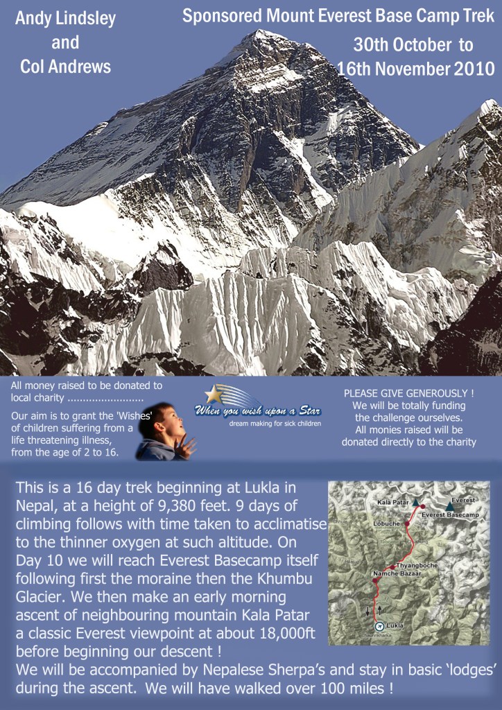
Our trip to Nepal was in November 2010. We had decided to maximise our efforts by asking for sponsorship. The charity I chose was When you wish upon a Star, a charity whose aim was to make the dreams of sick children come true.
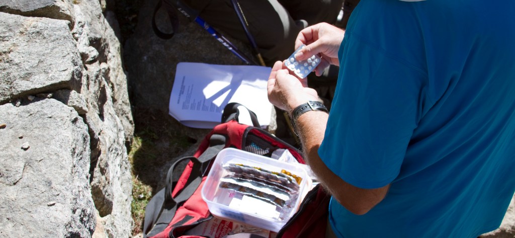
Not really knowing what to expect, we trained quite hard in the mountains of the Lake District. The unknown quantity was the possibility of getting altitude sickness. Altitude sickness, often known as acute mountain sickness (A.M.S.), in general may occur when people ascend too quickly normally at altitudes of over 3000 m. For that reason, we naturally decided to book the trip via a reputable adventure travel company. We chose a UK company based in Keswick.
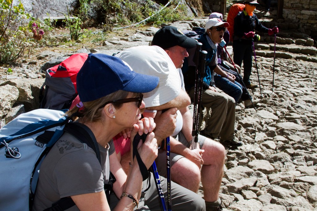
By doing so we were ensuring minimal risk by rest days being built into the trekking schedule. We later realised that most people felt some effect of altitude, mainly shortness of breath and feeling a little light- headed. Acute mountain sickness is very different and normally involves a severe headache, sickness, and loss of awareness. In almost every potential case though there are enough warning signs to take appropriate action and we did see quite a few people being carried back down the mountain by porters, probably having ascended far too quickly. I’ll go into more about the potential symptoms later.
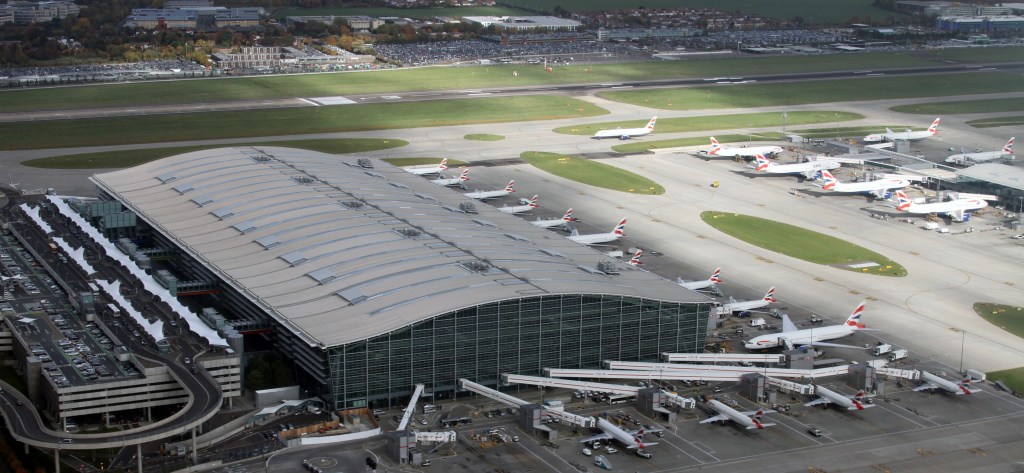
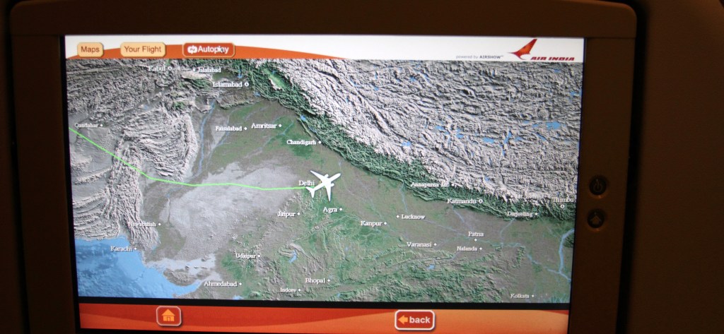
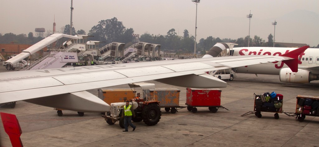
On to our trip. We left Heathrow on 30th October 2010 to head to Kathmandu, Nepal, via Delhi where we would transfer. Our flights were with Air India. The flight time to Delhi was about 8 hours 50 minutes with a transfer to Kathmandu of about 1 hour and 15 minutes.


We arrived in Kathmandu on the 31st October. I’ll call this “Day 1”.
DAY 1
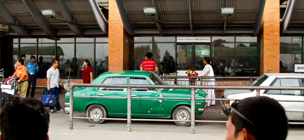
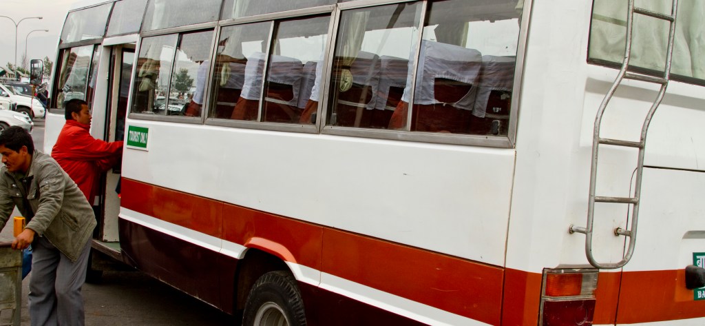
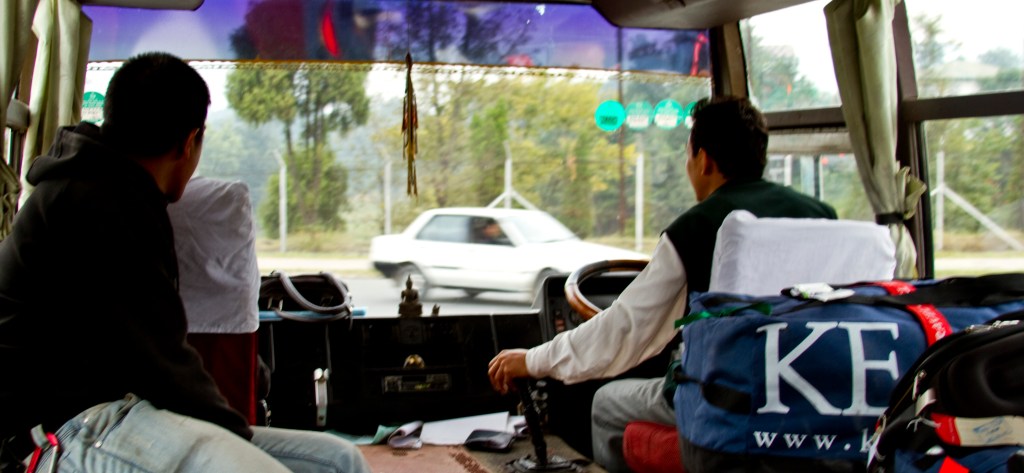
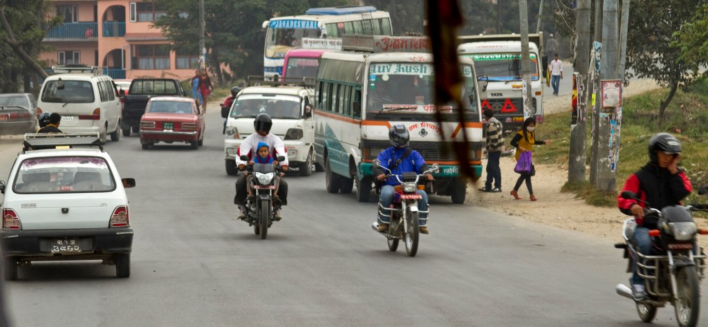
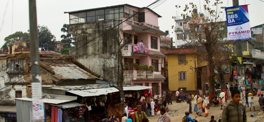
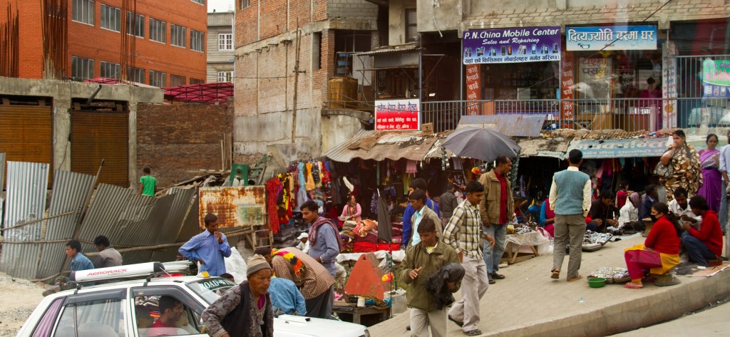
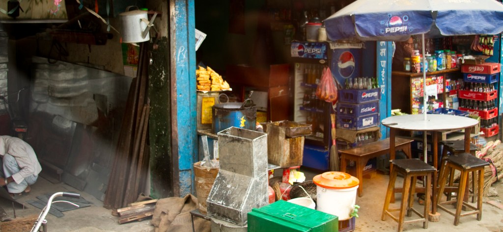
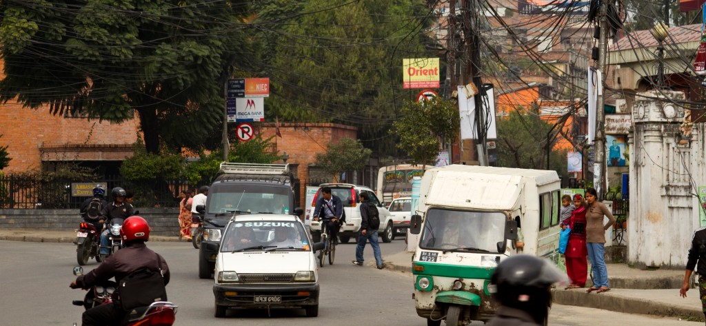
The first overriding impression on leaving the airport was that everything looked so much older! The cars were reminiscent of models we had in the UK in the 1970’s, and as we were taken by a very interesting and elaborately decorated bus through the streets of Kathmandu it was clear that their attitude to road safety seemed to be also firmly rooted back in the 70’s with multiple people and loads being carried on motorbikes and building sites being health and safety courses waiting to happen! The poverty too was striking. It was a humbling experience right from the very start, but I fell in love with the place and look forward to going back soon I hope, but in a different role.

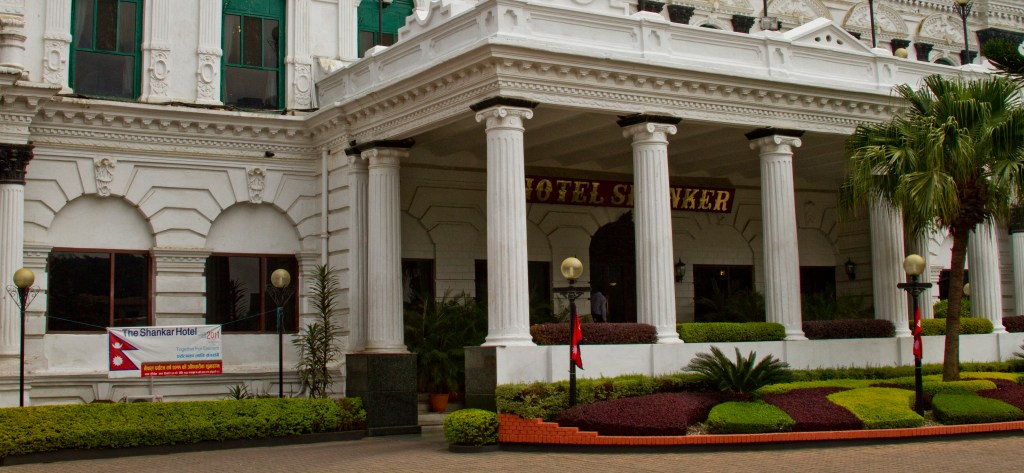
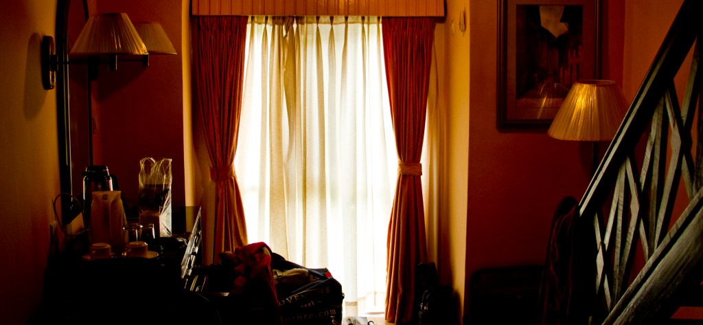
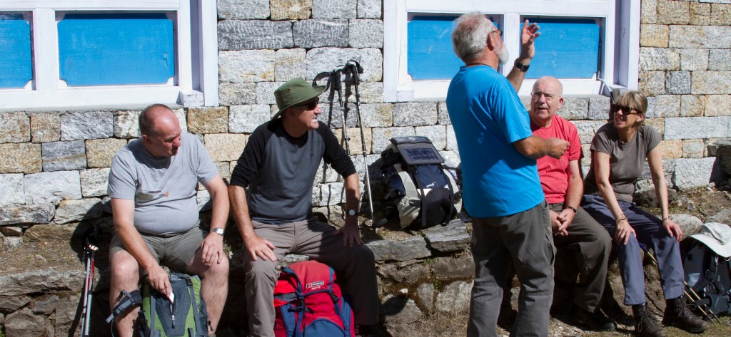
We checked into the Hotel Shanker, which was apparently once a 19th-century palace and the royal residence of the rulers of Nepal from 1894 until 1964. We were met by Graham, our guide from the UK, who briefed us about what to expect during the trek. We also met our three other teammates and trekking companions, making us a group of five, all eager to get started the following day.
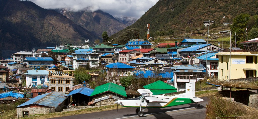
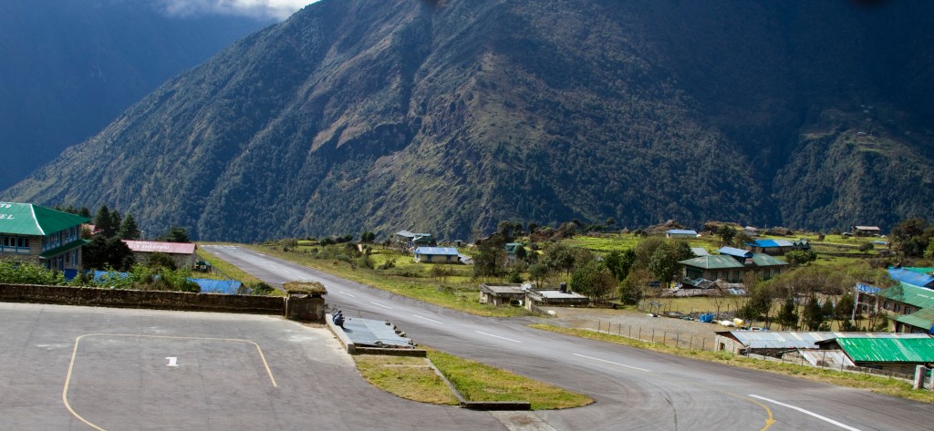
Everest Base Camp is one of the most popular trekking routes in the Himalayas and about 40,000 people every year make the trek there from Lukla, the tiny mountainside airport into which you fly from Kathmandu. This not only saves time and energy before beginning the trek to the base camp but there are no roads from Kathmandu to Lukla. The only method of transporting large and heavy goods is by aircraft.
DAY 2
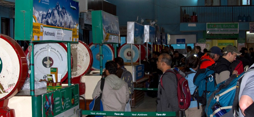
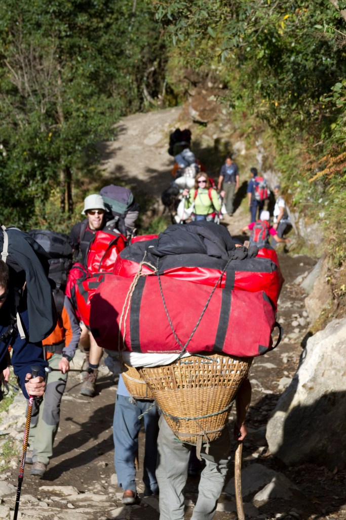
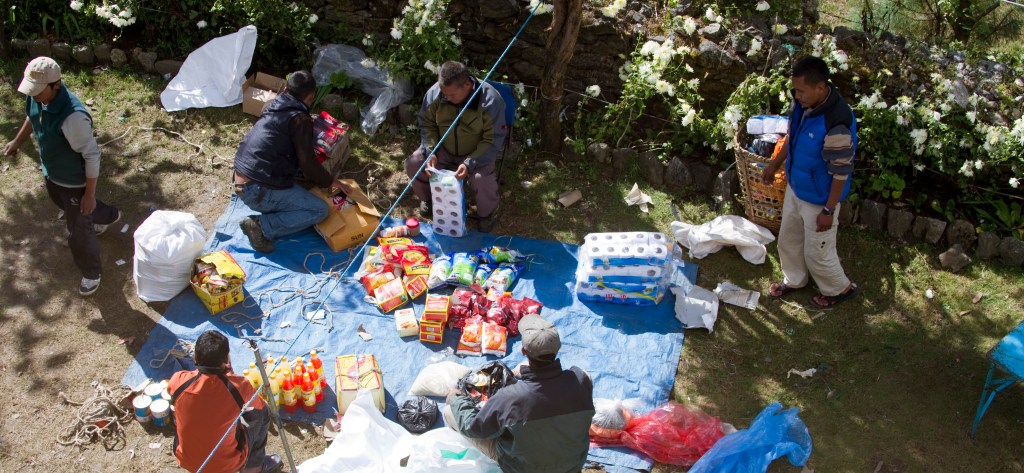
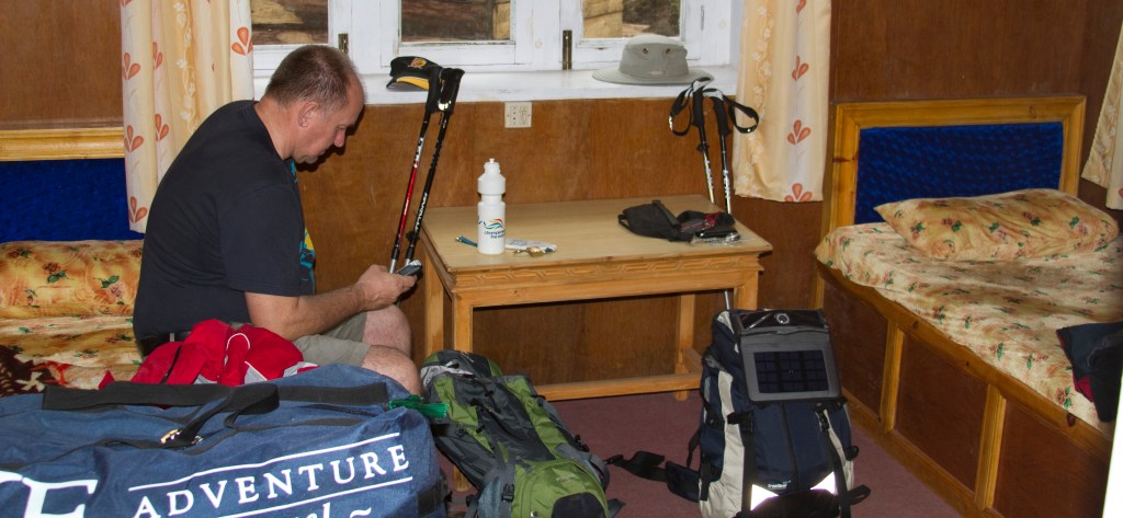
The day after we arrived in Nepal, the 1st November, which as it was the start of our trek, we were up bright and early to head to Kathmandu airport. The retro feeling continued as we weighed in our 15 kg kit bags on massive Avery scales. These kit bags contained our overnight and spare kit for the trek and would be carried by our team of porters. We were also allowed a rucksack in which we would carry the stuff we needed throughout the day and which we carried ourselves. A 30-litre rucksack is ideal for this.
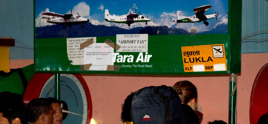
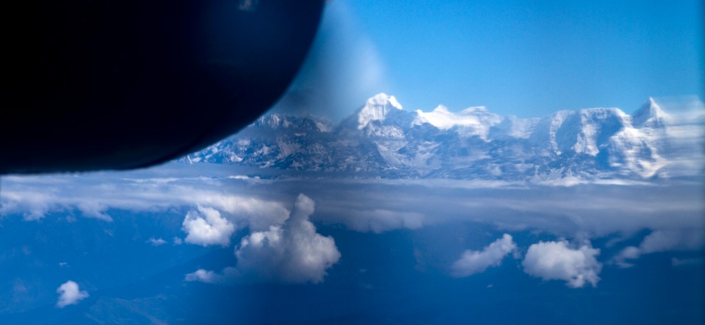
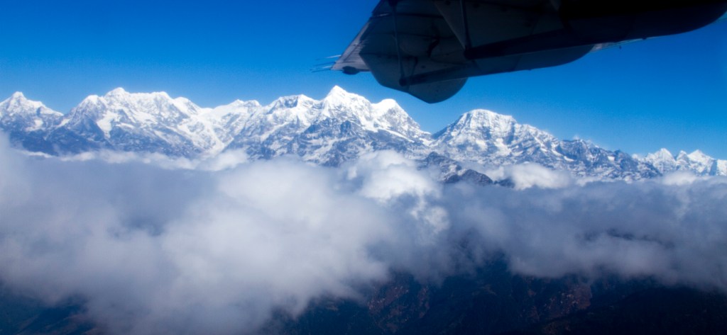
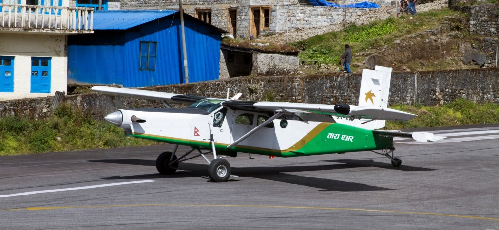
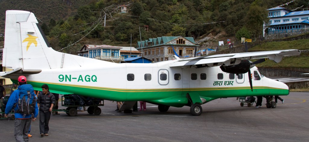
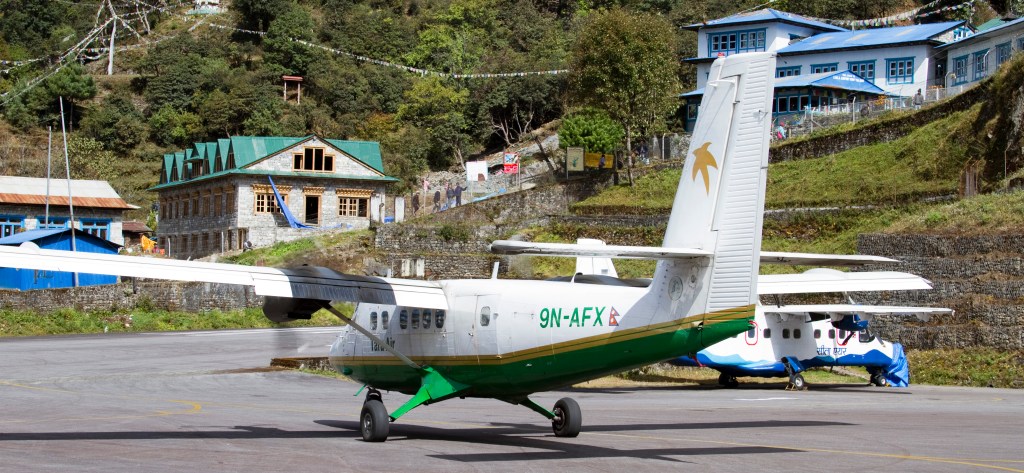
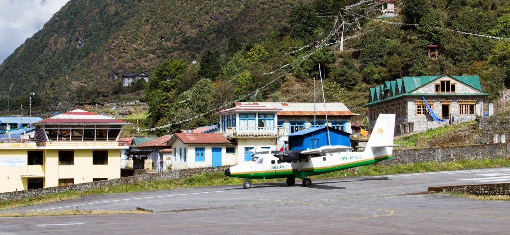
We then boarded our small Dornier aircraft operated by Tara Air and took off, bound for Lukla.


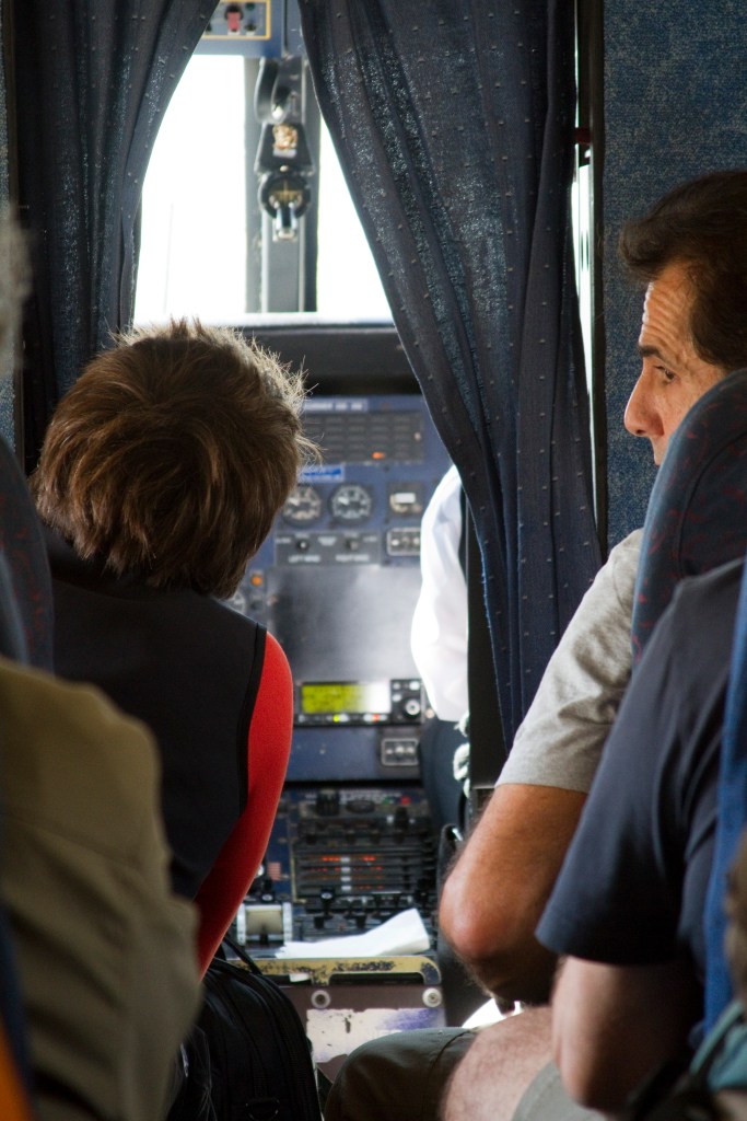
The scenery passing below was amazing and the closer we got the bigger the mountains became.
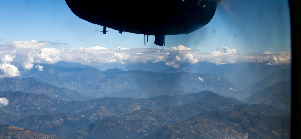
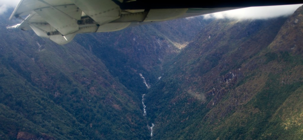
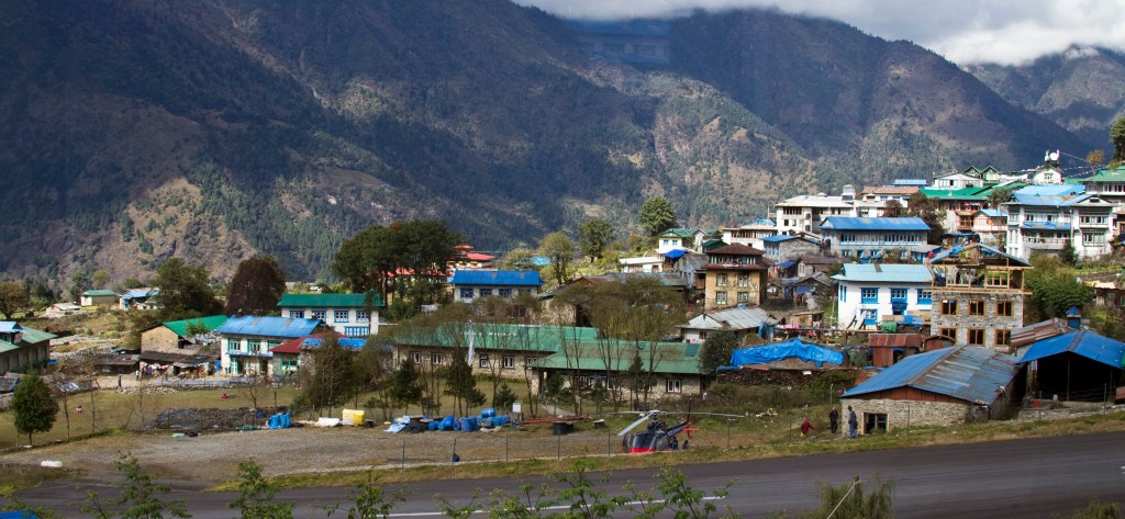
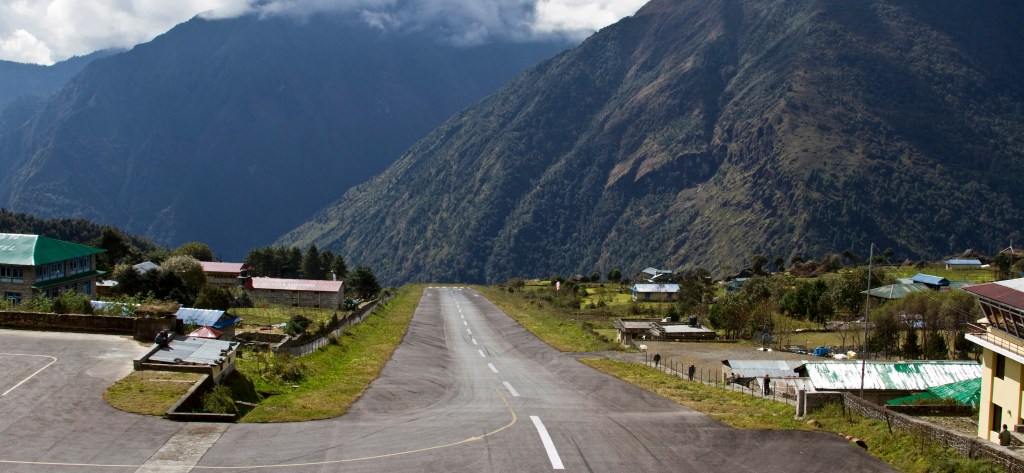
Lukla is situated at 2,860 metres (9,383 ft), and its name is translated as “place with many goats and sheep”. The airport is named Tenzing-Hillary Airport which has a very short and steep airstrip, and there is no opportunity for aircraft to ‘go round’ again if the landing is miscalculated. This is due to there being a steep hillside at the end of the runway. This, often compounded by hazardous weather, has resulted in several fatal accidents over the years. It has been called the most dangerous airport in the world and you can’t fail to think about this as you begin the approach through stunning mountain scenery. The runway actually slopes down at 11 degrees and landing against an upward slope helps to decelerate the aircraft.
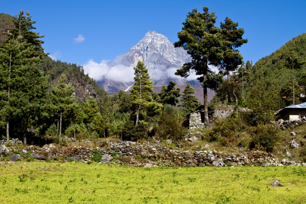
There are 5 distinct zones as we ascend to basecamp. Lukla sits in the temperate zone, which extends from 2,000 to 3,000 metres and has many Blue Pine and broad-leaved trees growing on sunny slopes. It has cool winters and receives ample moisture as rainfall or mist. The thick layer of cloud that hangs at the upper altitude of this zone creates moist conditions all year round. Snow seldom falls here and when it does it melts quickly. As my account of our trek progresses I’ll describe the other four regions as we pass through them.
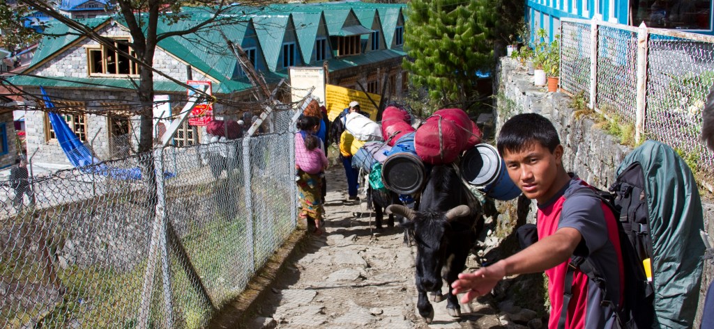
We landed, thankfully without incident, and met up with our sherpa’s and porter’s. We had two sherpa’s, a ‘Sirdar’ who was a head sherpa and a group of porters. Lukla airport is also the starting point of the many supplies that are taken up into the mountains either by porters or on the many Yak trains, so many of the aircraft seen were just delivering cargo.

What then, is a sherpa? With a capital “S”, Sherpa is an ethnic group, one of the many pseudo-Tibetan ethnic groups that live at the higher altitudes in Nepal. The Khumbu, the Everest region from Namche and up to Everest Base Camp is inhabited by Sherpas. To make the distinction a “sherpa”, with a lower-case letter, means a trek or expedition worker. They put their hands to many tasks including putting up and packing tents, serving meals, and walking with us, the clients, during the day, ensuring they we didn’t get lost and to provide help if anyone became tired or sick.
The Sherpa’s religion, Mahayana Buddhism, is woven into their everyday lives and culture. Mountain tops and unusual geographic features are recognised by the Sherpas as homes of the Gods. Reincarnation is an important part of the Lord Buddha’s teaching. Sonam, merit, for present and future lives is believed to come to those who practice the religion daily.
Naturally, sherpa is derived from Sherpa, and all the first “sherpas” were from the Sherpa ethnic group, but now there are trek and climbing sherpas from other ethnic groups too.
The porters are load carriers BELOW base camp levels (above base camp loads are carried by sherpa’s). Porter’s normal loads are 30 to 45 kg, so three of our kitbags, all carried in a basket on their back with a single forehead strap with which it was stabilised. They come from a variety of ethnic groups, although in the Everest region many are Rai, from a couple of districts below the Everest region. They are never from the Sherpa ethnic group and in Nepal, locals mostly refer to them as “coolies”.
All are super-friendly, but the porters keep themselves to themselves and it was apparent that there was a definite class-system going on. The porters are clearly very poor and some wear only flip-flops on their feet to tackle the rocky paths with their oversized burdens.
Lastly, the Sirdar. He manages and coordinates all the loads and supplies being carried, manages the labour relations of all the staff and liaises directly with the English guide, in our case Graham, in respect of accommodation booked and group dynamics. Unless there is a designated trek leader, the sirdar will be manager and guide and coordinator!
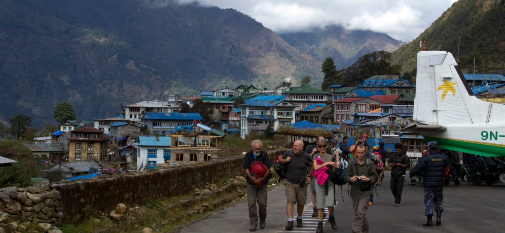
It is from Lukla that our trek began.
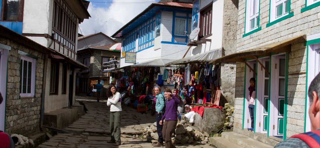
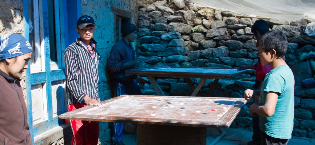
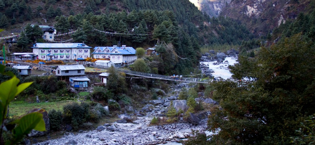
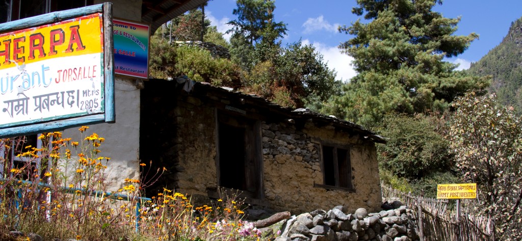
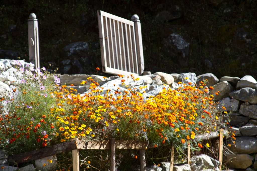
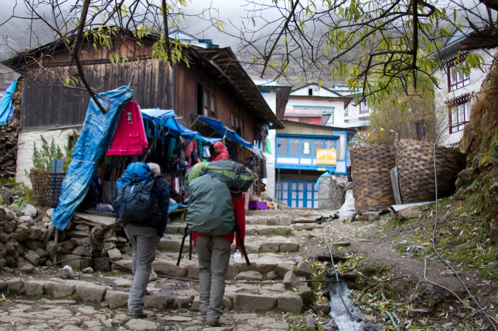
Lukla is a colourful place, with brightly painted tin roofs to many of the buildings. While our support team sorted themselves, we had our first experience of one of the ‘tea houses’ – small restaurants which were to become familiar throughout the trek and where we would be refreshed by the customary ginger tea, or at mealtimes, a variety of Nepalese food.
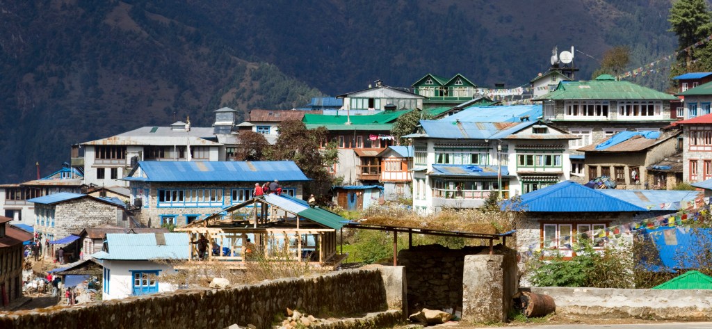


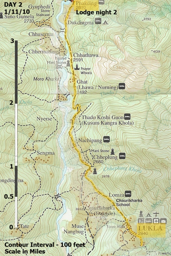
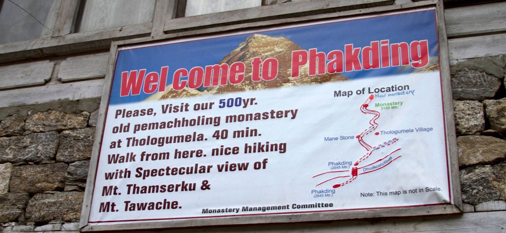
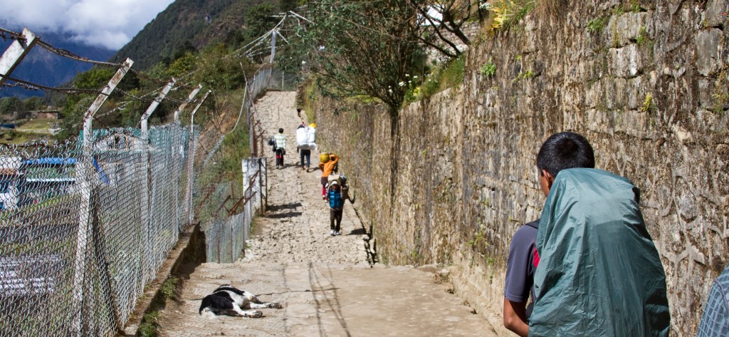
We left Lukla, taking the path above the end of the airport runway and followed the valley of the Dudh Kosi river for about 4.5 miles heading to the destination for our first night in the mountains, Phakding.
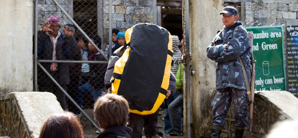
A short time into this route we stopped at a police checkpoint where we were issued with our national park permits. This first day is pretty much a downhill leg and the altitude at Phakding is actually lower than that at Lukla, at about 2,610 metres (8563 ft).
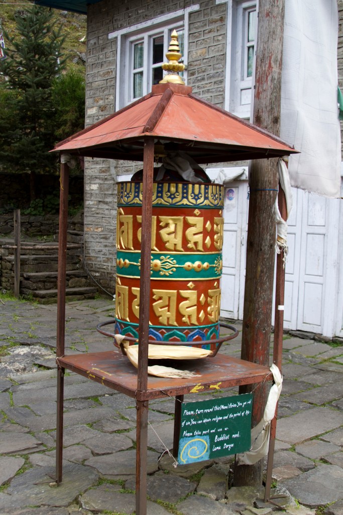
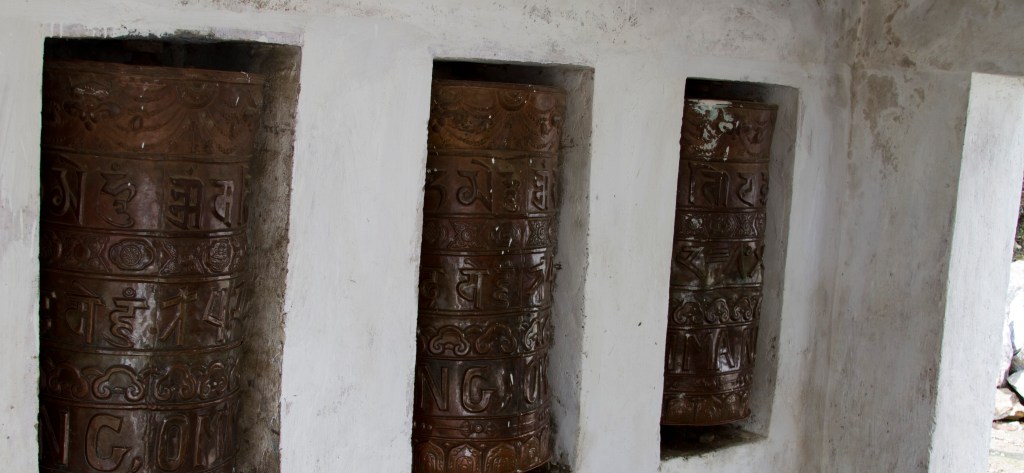
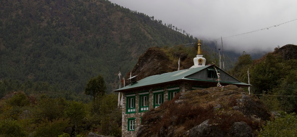
We passed numerous Buddhist cylindrical prayer wheels throughout the trek. Traditionally, a mantra is written in Ranjana or Tibetan script, on the outside of the wheel. The mantra “Om mani padme hum” is most commonly used, but other mantras may also be used.
According to the Tibetan Buddhist tradition spinning the wheels will have much the same meritorious effect as orally reciting the prayers. We quickly became accustomed to spinning them as we passed them, being told it would be unlucky not to.
The local children were all happy to speak to us as we made our way past their humble houses. We checked in to our first lodge for the night, the Hotel Beer Garden.


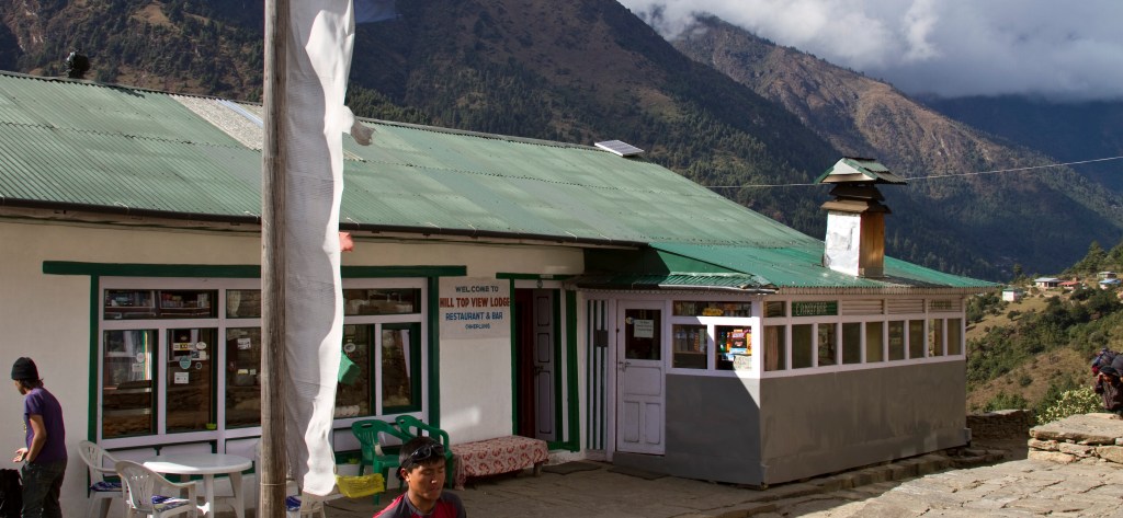
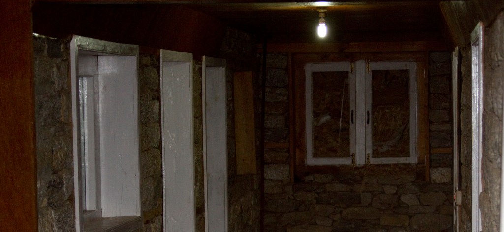
The lodge was decidedly less luxurious than the Hotel Shanker but was a whole lot MORE luxurious than some that were still to come! The bedding could have done with a bit of a freshen up – I can only say that I was thankful we had our own sleeping bags.

DAY 3
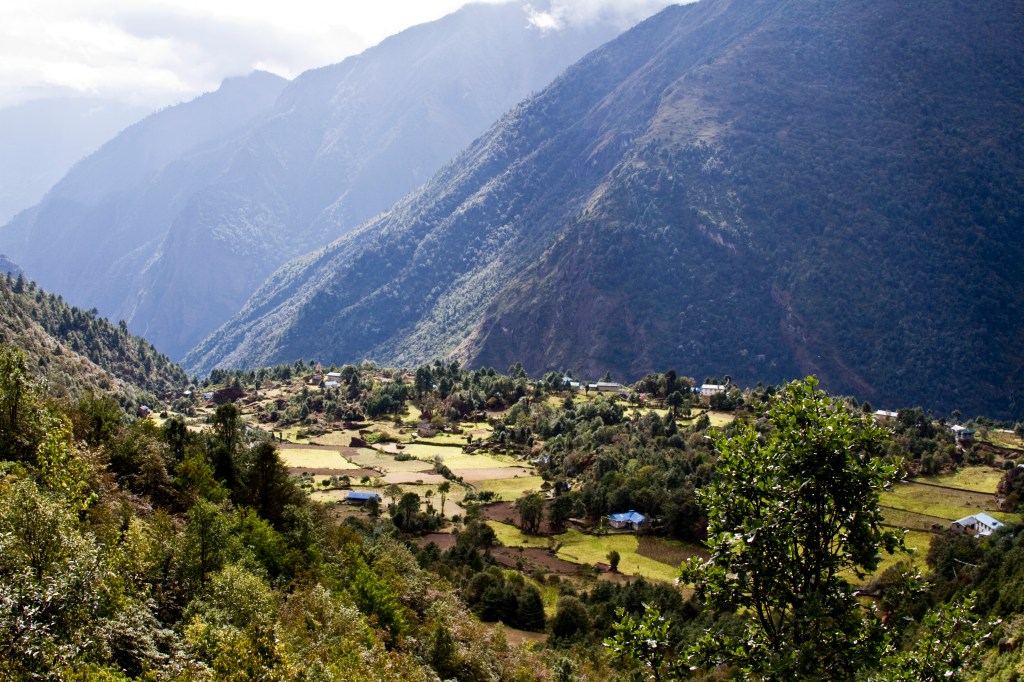
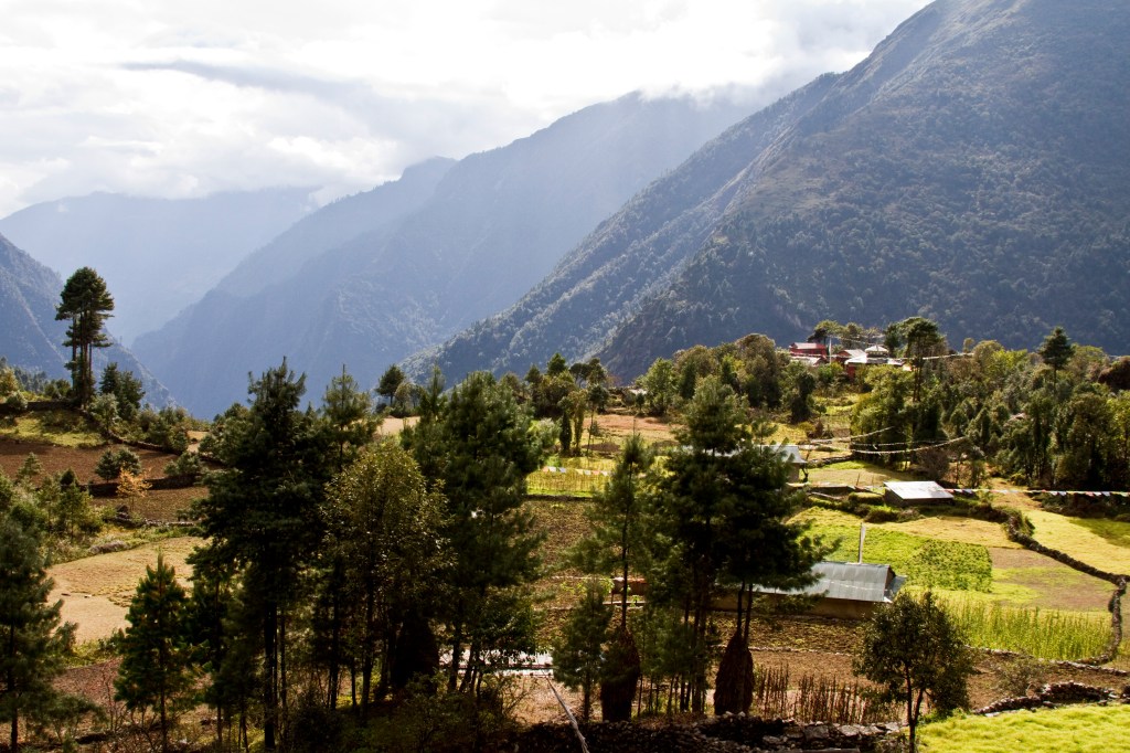
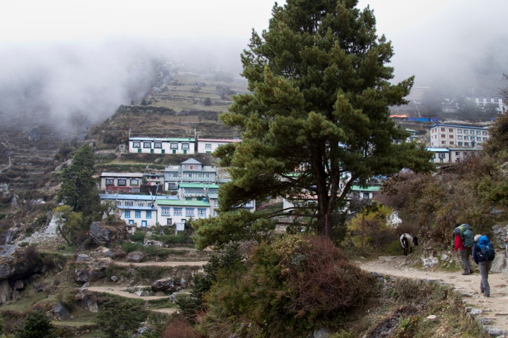
Our 3rd day, 2nd November, involved a day of ascent, about 5 hours, to the Sherpa capital of Namche Bazaar, which sits at 3,440 metres (11,290 ft). It was a marvellous walk initially by the river and through pine forests then talking in a short but sharp climb to avoid a narrow gorge.

This zone, between 3,000 and 4,000 metres, is known as the Sub-alpine zone and consists of a lot of fir, birch, juniper, and rhododendron forest. It covers ridge tops and cool north-facing slopes right up to the treeline. It suffers from cold winters with heavy snow and plants and animals are forced to adapt. Summers are warm and moist, and the growing season lasts for about 6 months to make the most of the conditions.

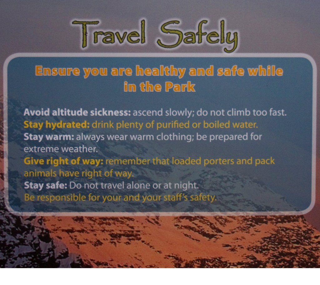
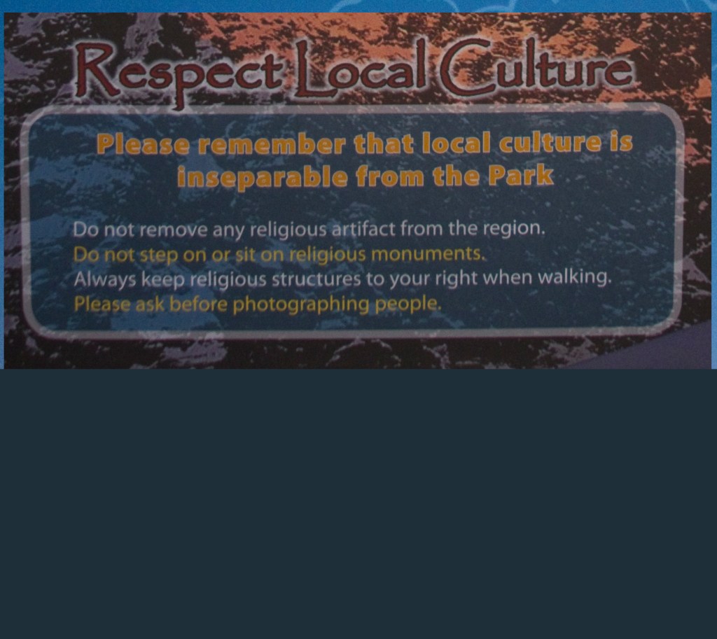
We passed the entrance to the Khumbu National Park, where details of our permits were recorded. There are park rules, most of which are common sense, safe travel advice and the way you can respect local culture – these are all displayed on colourful signs, so you can’t say you didn’t know what they were.
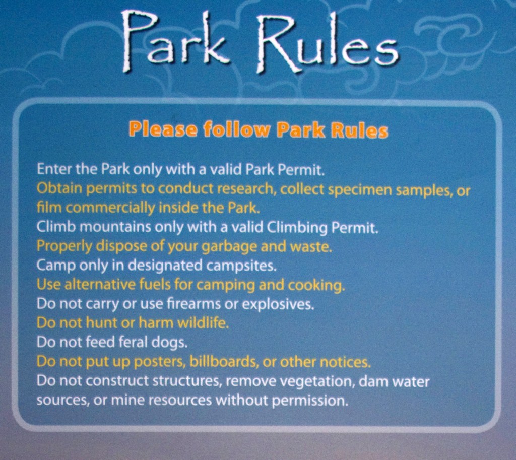
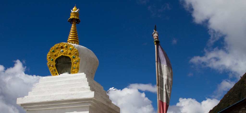
The official Nepalese name for Mount Everest in ‘Sagarmatha’ and in 1976 the Nepal Government established the area known to the local Sherpa as ‘Khumbu’ as Sagarmatha National Park. It covers some 1,148 sq km and its goal is to conserve its natural ecosystem and cultural landscape. It is recognised as a UNESCO World Heritage Site. Its primary attractions are superb mountain scenery, high altitude flora and fauna, and unique Sherpa culture, not forgetting of course it’s most important attraction – the world’s highest peak, Mount Everest at 8,848 metres – known locally as Jomolangma.
Local residents, including our own team of sherpa’s, consider Khumbu to be a beyul, or sacred, hidden valley. Padmasambhava was a powerful religious mystic credited with introducing Buddhism to the Himalayas and Tibetan Plateau during the 8th century and the belief is that he hid this valley as a refuge for his followers.
Mountain deities, such as Khumbi Yullha and Jomolangma (Everest) are protectors of people and their faith. Some wildlife, such as wild yak, are associates of protector deities and the Khumbu Sherpa refrain from harming them. Spirits, such as Lu and Sadhak, are regarded as caretakers of the land and water and unnecessary disturbance can displease the spirits and cause sickness and misfortune. Mount Everest is believed to be the abode of the goddess, Jomolangma, and as one of the five sister goddesses of the Himalaya, she bestows wealth and nourishment. You will see artistic portrayals of her riding on a red tiger bearing a long bowl of food in her right hand and a mongoose in her left that spits wealth. Our sherpa’s were adamant that she shouldn’t be upset as it could cause major trouble in the mountains!
I felt moved by this fervent religious belief held by these gentle people that were fast becoming our friends.
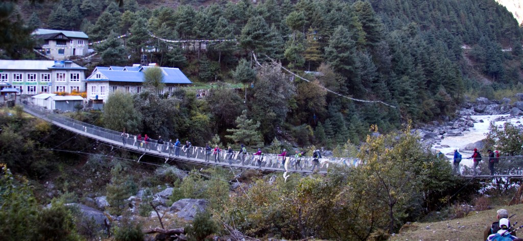
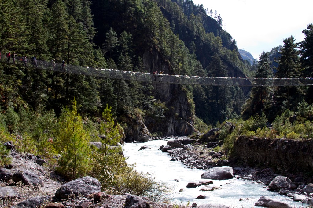
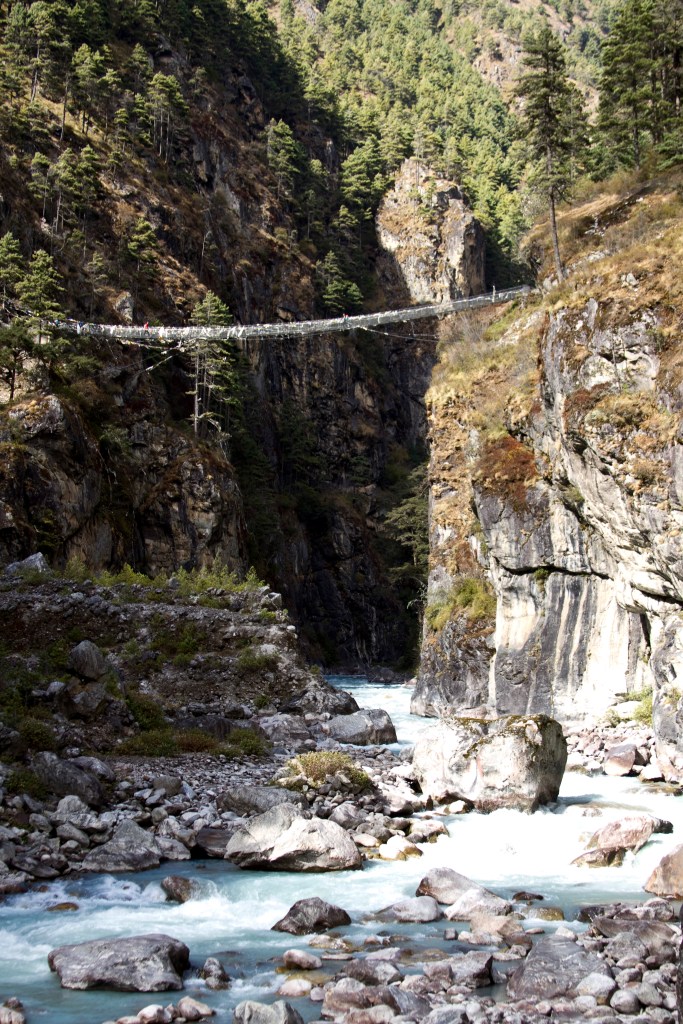
We dropped back down to the river which we crossed on a narrow suspension bridge. We were to cross many of these bridges which are barely wide enough for two people – interesting when you meet a train of Yaks coming the other way! They press on relentlessly!
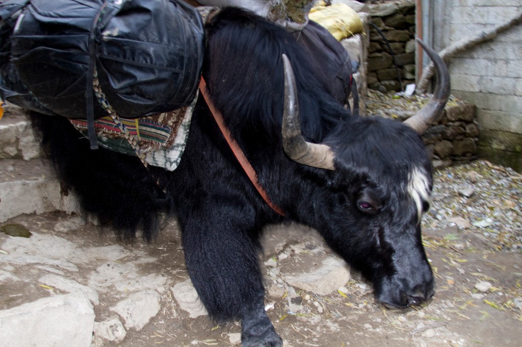
While on the subject of Yaks, as well as carrying loads they pull plows, give milk and furnish meat, hair and hides. When bred with the cow the “Dzoom” hybrid is a hardy milk-producer. I never managed to spot the difference and to me they were just Yaks!

We continued up the wooded valley upstream and on a good trail and crossed the river again before reaching a confluence of rivers, one coming down from Thame and the other from the Khumbu. The bridge here was spectacularly high as we crossed the raging waters way below.


It was then a long ascent of about an hour and a half up to Namche Bazaar and was probably the steepest section on the whole trek. Already at least one of the group had begun to suffer from mild headaches and a bit of lethargy was setting in as the altitude began to take a bit of an effect.
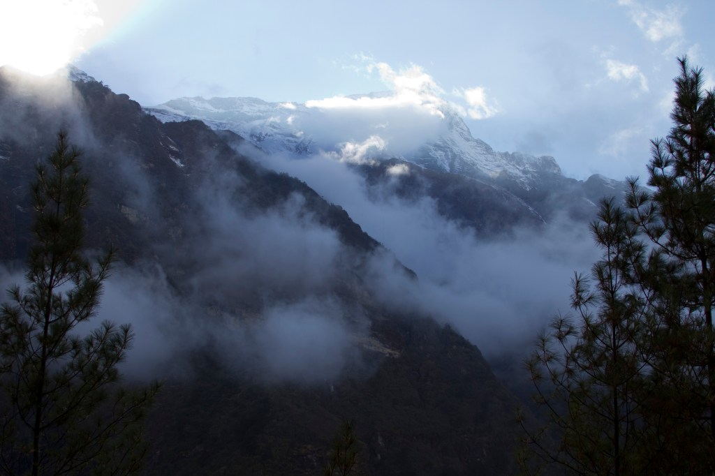

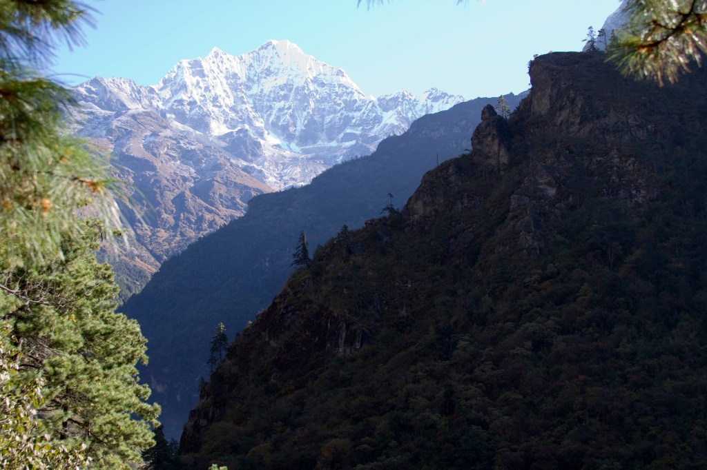
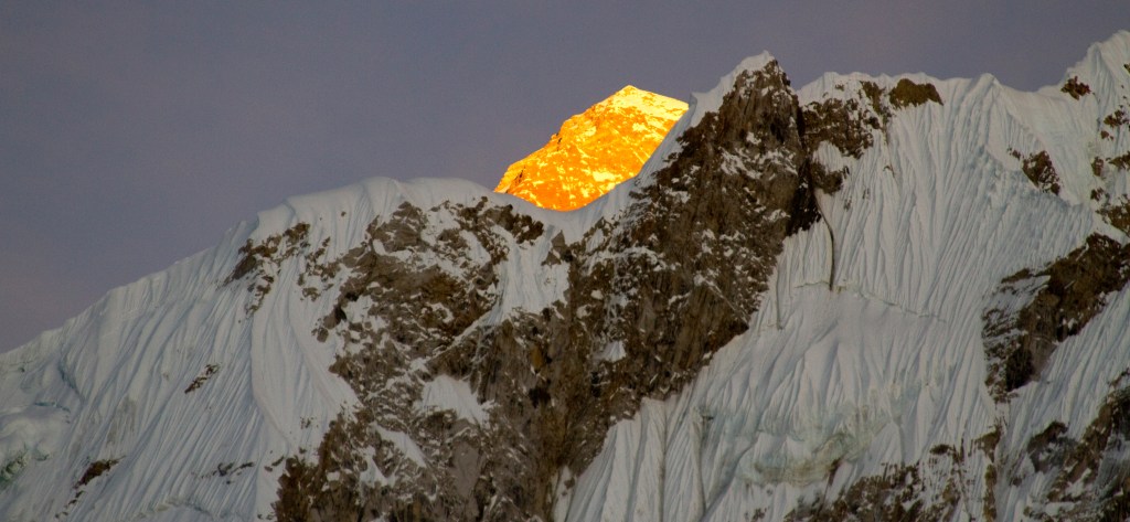
The bonus was though, that during this section we gained our first views of Mount Everest! On arriving in Namche Bazaar, we checked into our lodge.

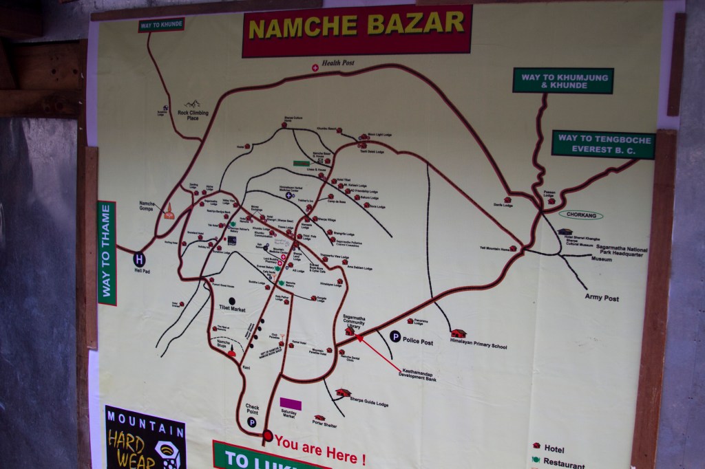
Namche is a bustling place full of souvenir shops, cafés and bars. It was a great place to rest for a couple of days and acclimatise to new altitude before heading onwards and upwards.


This seems like a good time to pause, as it was a pause in the trek. I hope you’ve enjoyed reading this.
Look out for Part 2 coming soon!